Fontana Trail
Tschars
| Length: | ca. 5 km |
|---|---|
| Altitude: | ca. 840 m |
| Difficulty: | easy |
Route directions [-]
Der Fontana-Trail bietet eine anspruchsvolle Mischung aus technischem Terrain und atemberaubender Natur.
Parkmöglichkeiten
Parkmöglichkeiten finden Sie auf dem Parkplatz Schartegg (Tomberg), welcher sich unterhalb des Startpunktes des Trails befindet.
Streckenverlauf
Beginn des Trails
Der Fontana-Trail startet unterhalb des Parkplatzes Schartegg und teilt sich die ersten Abschnitte mit dem Lupo-Trail. Dieser Teil des Trails ist als einfacher Waldboden-Trail (S1) klassifiziert, welcher technisch leicht zu meistern ist.
Mittlerer Abschnitt
Nach der Trennung von Fontana- und Lupo-Trail nimmt die technische Schwierigkeit zu (S2). Fahrer sollten sich auf eine erhöhte Anforderung an ihre Fähigkeiten einstellen.
Schlussabschnitt
Während der Trail weiter talwärts führt, steigert sich die Schwierigkeit weiter (S3), mit anspruchsvolleren Passagen, die mehr Erfahrung und Technik erfordern.
Zwischeneinstiege
Verschiedene Zwischeneinstiege entlang des Trails bieten die Möglichkeit, den Weg nach individuellen Fähigkeiten und Vorlieben anzupassen.
Ziel
Der Fontana-Trail endet im Tal. Von hier aus führt der Vinschgauer Radweg in Richtung Meran oder in Richtung Obervinschgau.
Fontana Trail - Karte [-]
Elevation profile

Video
Cycling tours in South Tyrol
Mountains, wine, and pedal power! Where else can you work up such an elegant sweat while being surrounded by breathtaking Alpine panoramas? Cycling between apple strudel and grappa. Ready, Set, Pedal! South Tyrol awaits you.
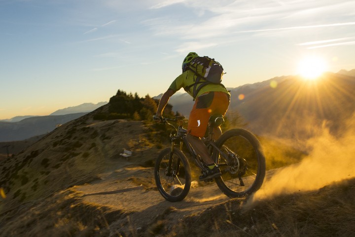
MTB tours
The number of MTB trails and the ongoing bike season make Merano a MTB paradise.
Open MTB tours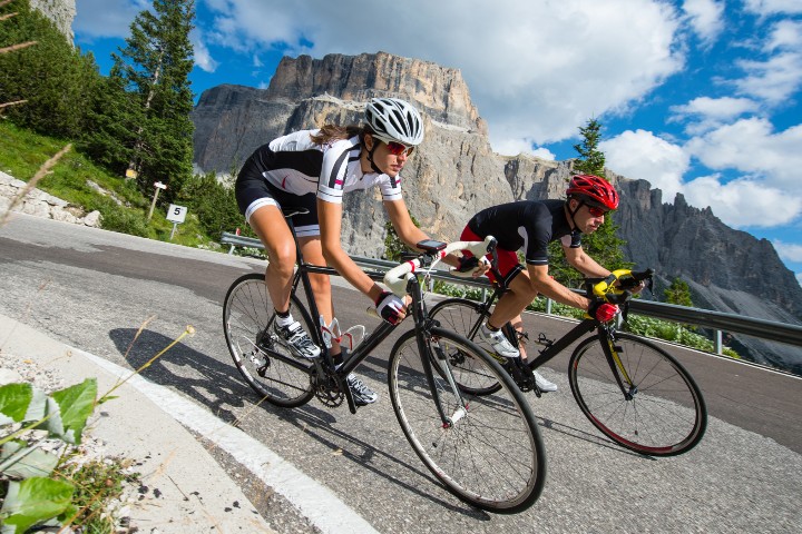
Roadbike tours
Numerous mountain passes attract road cyclists to South Tyrol. The most beautiful Alpine passes provide endless metres of altitude.
Open Road Bike Tours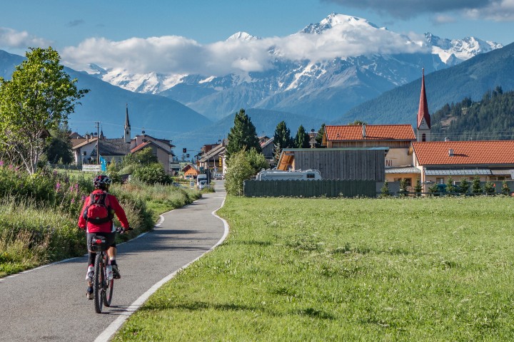
Enjoyment tours
More moderate cyclists enjoy the fantastically beautiful landscape in South Tyrol on leisurely bike tours.
Open tours
